


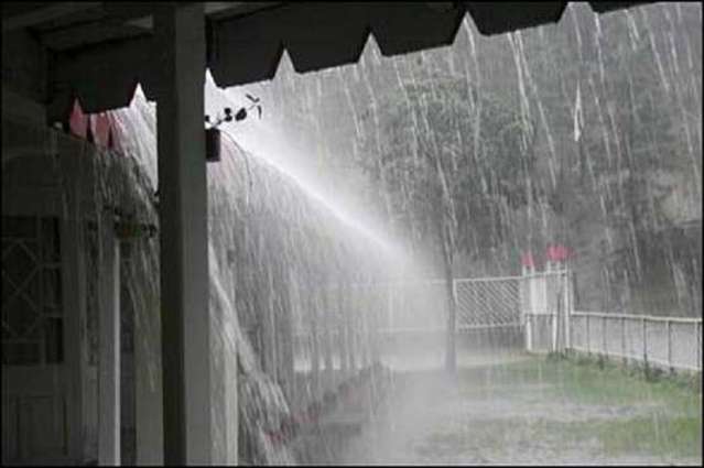
Rain in Tamil Nadu, Kerala, West Bengal; Snow in North Kashmir

The State Disaster Management Authority of Kerala has directed the government to enforce a fishing ban after the India Meteorology Department warned of rain, squally winds and rough sea conditions and extended its advisory for fishermen. The Chief Minister’s office has directed District Collectors to disseminate the weather warning to fishermen. The Departments of Revenue and Fisheries and the Coastal police have also been advised to remain vigilant.
The low-pressure area over South of Sri Lanka coast and adjoining areas is likely to move in a west-northwest direction. This system will then intensify into a well-marked low during the next 48 hours. Satellite imagery on Sunday morning showed conspicuous white clouds massing over Lakshadweep, Sri Lanka and peninsular India.

A trough is also extending to Andaman and Nicobar Islands. Rains are likely to begin over coastal Tamil Nadu and Kerala and will increase both in intensity and spread.
An anti-cyclone is reported to be seen over Odisha coast and a trough is extending across Gangetic West Bengal, Jharkhand and Odisha. Isolated thundershowers are expected over Gangetic West Bengal, South Jharkhand and Odisha. Intense winds may also blow over these areas.
Rains and thunder squalls are expected over Sub Himalayan West Bengal, Sikkim and Arunachal Pradesh along with isolated pockets of rest of Northeast India as a result of the cyclonic circulation seen over North Bangladesh and adjoining Sub Himalayan West Bengal. The Western Disturbance is likely to move towards Jammu and Kashmir region and adjoining North Pakistan. Scattered rains are likely over Jammu and Kashmir with isolated activities over Himachal Pradesh and Uttarakhand. Hailstorm may be possible over some parts while higher reaches of North Kashmir may see some snow.

Yesterday’s low pressure area over equatorial Indian Ocean and adjoining southwest Bay of Bengal and south Sri Lanka coast now lies as a Well Marked Low Pressure Area over Equatorial Indian Ocean and adjoining south Sri Lanka & Maldives-Comorin area. It is very likely to move initially west-north-westwards and then northwestwards and concentrate into a Depression over the southeast Arabian Sea (Maldives area) during next 36 hours.
Rain/ thundershower at a few places on 12th and at many places on 13th and 14th March is very likely over south Tamil Nadu. Rain/ thundershower at a few places on 13th and at many places on 14th March very likely over south Kerala. Rainfall at many places with isolated heavy falls on 13th March and at most places with scattered heavy to very heavy falls on 14th and 15th March is very likely over Lakshadweep islands.
Squally winds speed reaching 40-50 kmph gusting to 60 kmph is very likely over Comorin area and along and off South Tamil Nadu – south Kerala coasts during the next 48 hrs. Squally winds speed reaching 30-40 kmph gusting to 50 kmph is very likely over Lakshadweep area and adjoining southeast Arabian Sea on 12th March. Wind speed will gradually increase thereafter over this region becoming 40-50 kmph gusting to 60 kmph on 13th and 45-55 kmph gusting to 65 kmph on 14th and 15th March 2018.
Sea condition will be rough to very rough over Comorin-Maldives area and adjoining sea areas during next 48 hrs and over Lakshadweep area and adjoining southeast Arabian Sea during 13th-15th March.
Fishermen are advised not to venture into sea off south Tamil Nadu & adjoining south Kerala coast and equatorial Indian Ocean, Comorin-Maldives area and the Gulf of Mannar area during next 48 hrs. Fishermen are also advised not to venture into sea off south Kerala coast, Lakshadweep area and adjoining southeast Arabian Sea during 13th -15th March 2018.
