


Drones mapping villages and towns in Maharashtra
Surveying a village is time consuming and prone to errors. Maharashtra government has found a solution for this by replacing the manual surveys with drone surveys, which they say is very accurate and fast.

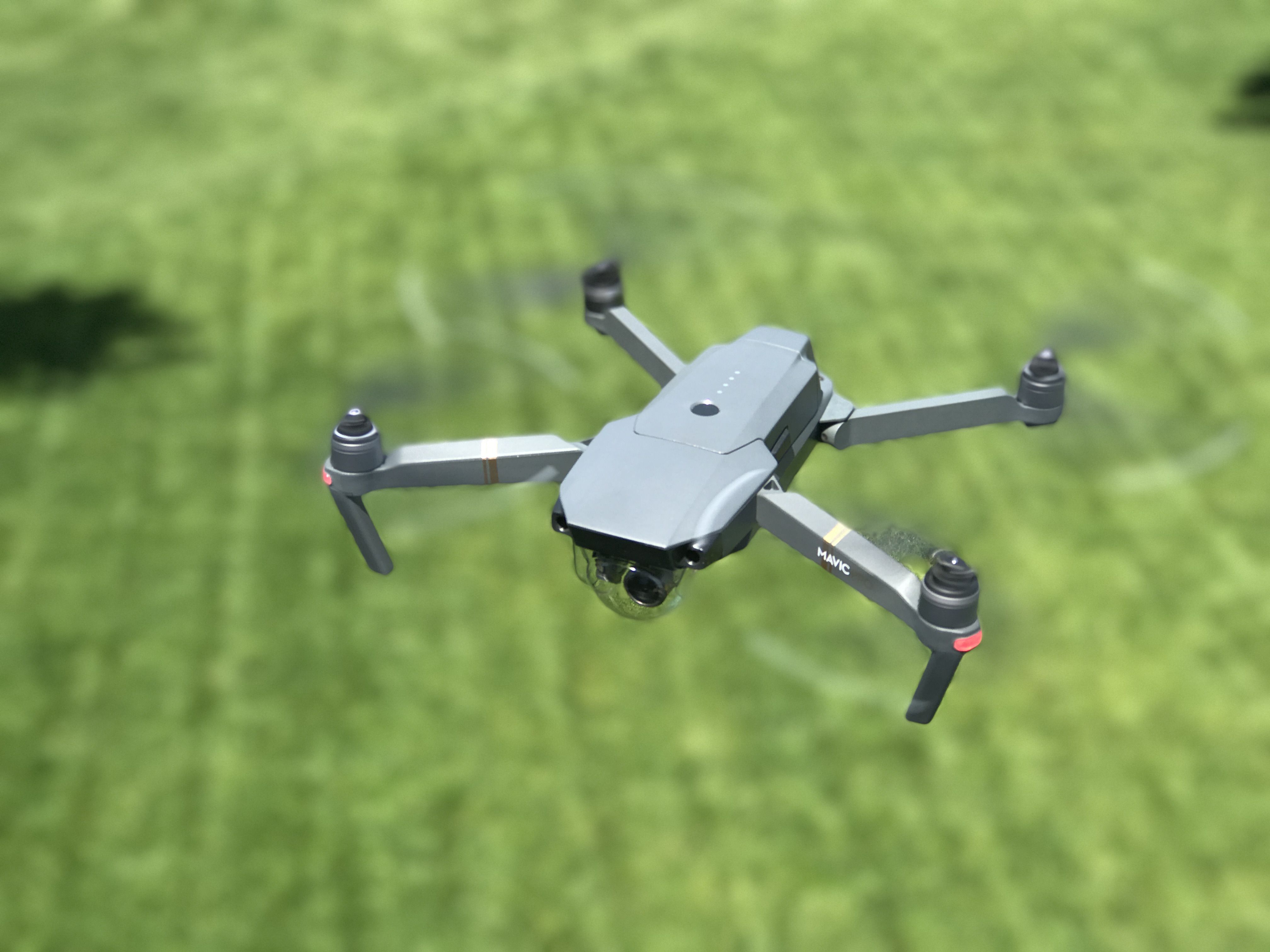
The Maharashtra government is using drones mounted with high resolution cameras to speed up the exercise of mapping villages and towns in the state. The government has launched a pilot project to survey the areas with the help of camera-fitted drones. The project was launched in Sonori village in Purandar tehsil of Pune district.
Mapping was earlier carried out manually, but drone technology is now changing the way this exercise is undertaken. Once extended to other areas and completed, the process is expected to boost revenue collection for the government.
There are 43,000 villages in Maharashtra, where exact information about government-owned land, open areas and private properties is not available. This situation has caused inordinate delay in charing property tax, drafting village or town-centric policy and implementing changes made in land utilisation reservation. The usage of drones will help the revenue officials identify the open spaces, government and private land and quickly match them with the available records.